Most conventional, traditional 3D modeling software tools (3D Studio MAX,
Blender, Maya, Softimage, etc.) have very poor support for terrain. Most
significantly, as of 2006, none of those package has an entity to efficient
store a heightfield. The only way to represent a terrain is with a very
large number of small triangles, which must all be stored (and drawn during
editing) as a brute-force polygon soup. Support for geographic metadata
and cartographic coordinate systems is virtually non-existent.
If you know of other ways to import terrain data into popular 3D modeling software,
please let us know.
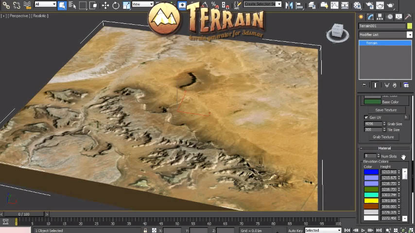 Mega-Fier Terrain
Plugin
Mega-Fier Terrain
Plugin